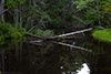
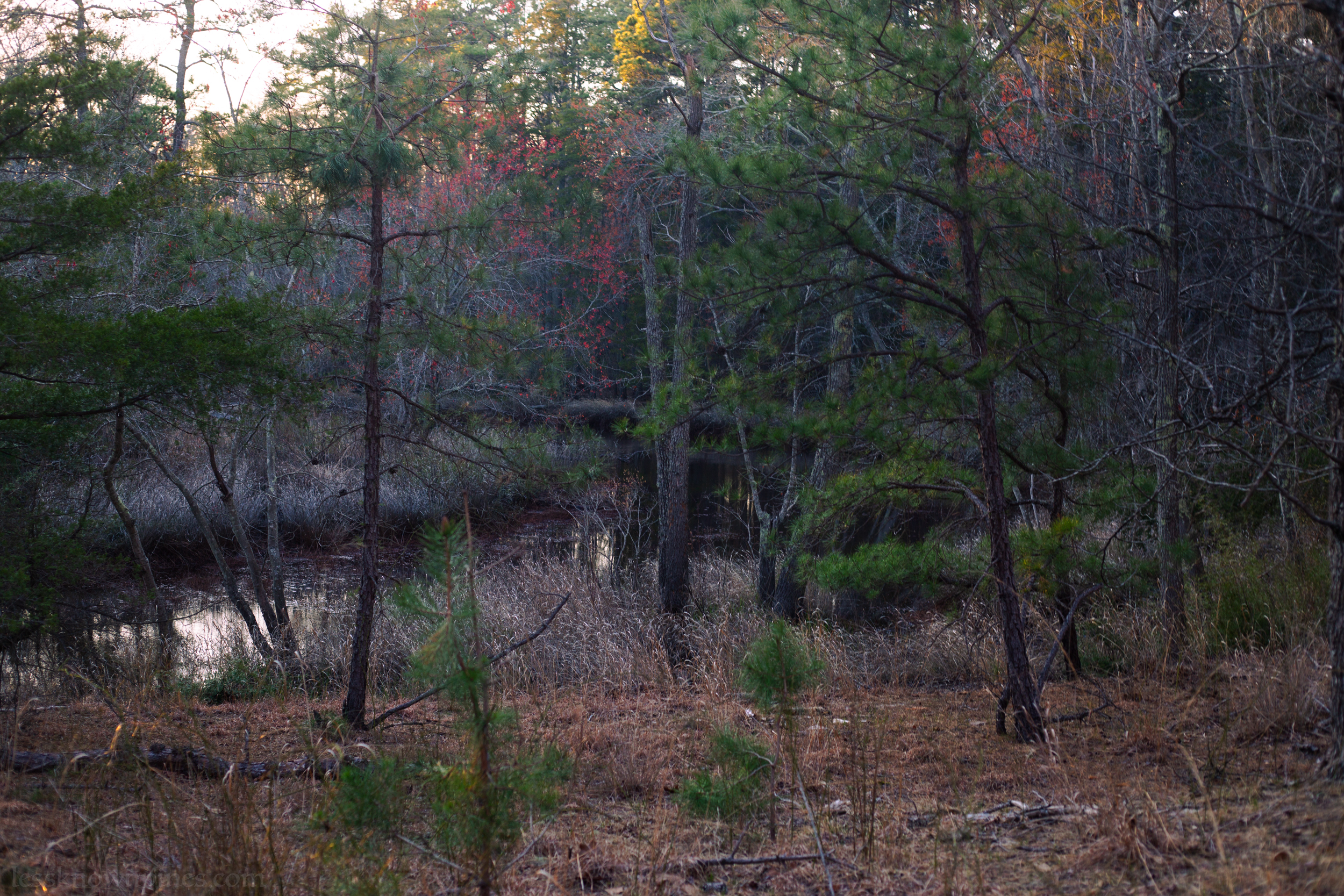
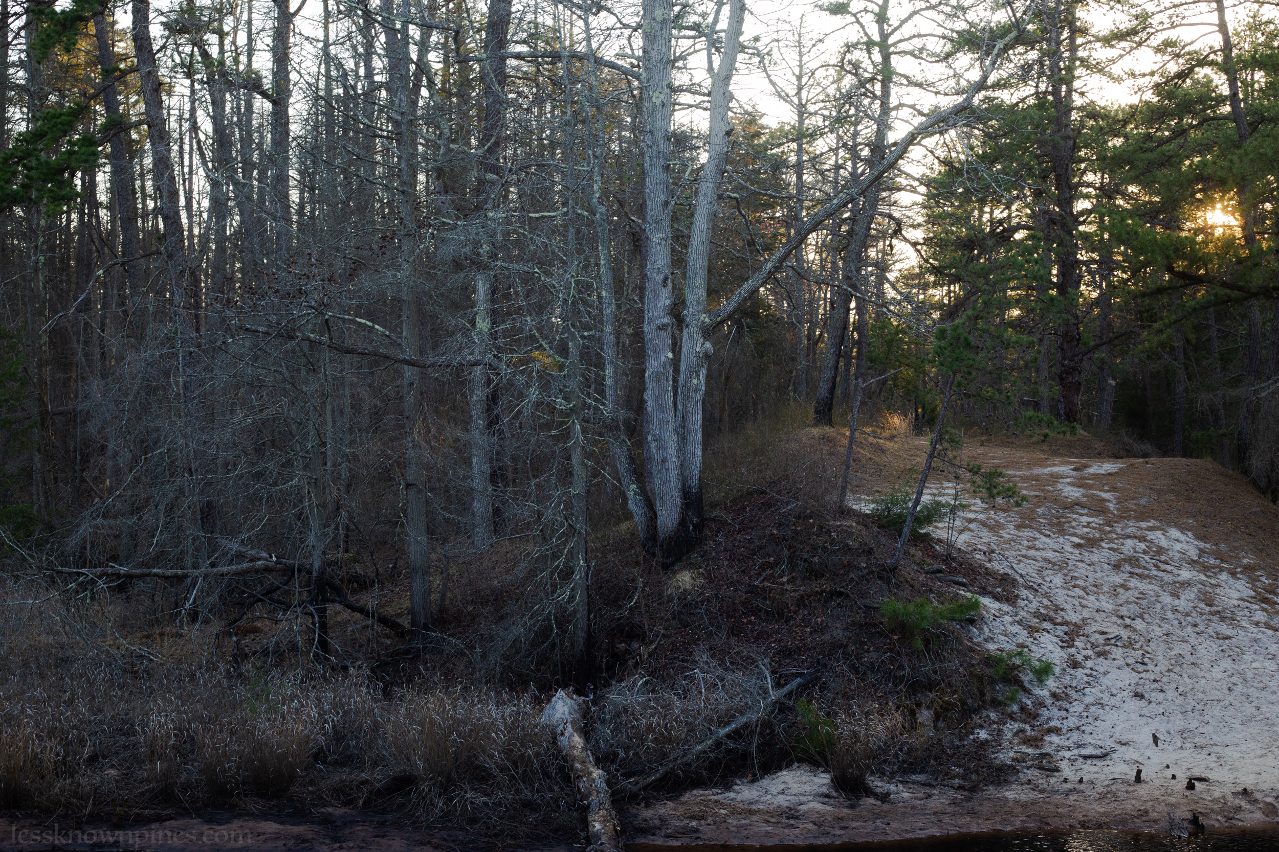
Mullica River
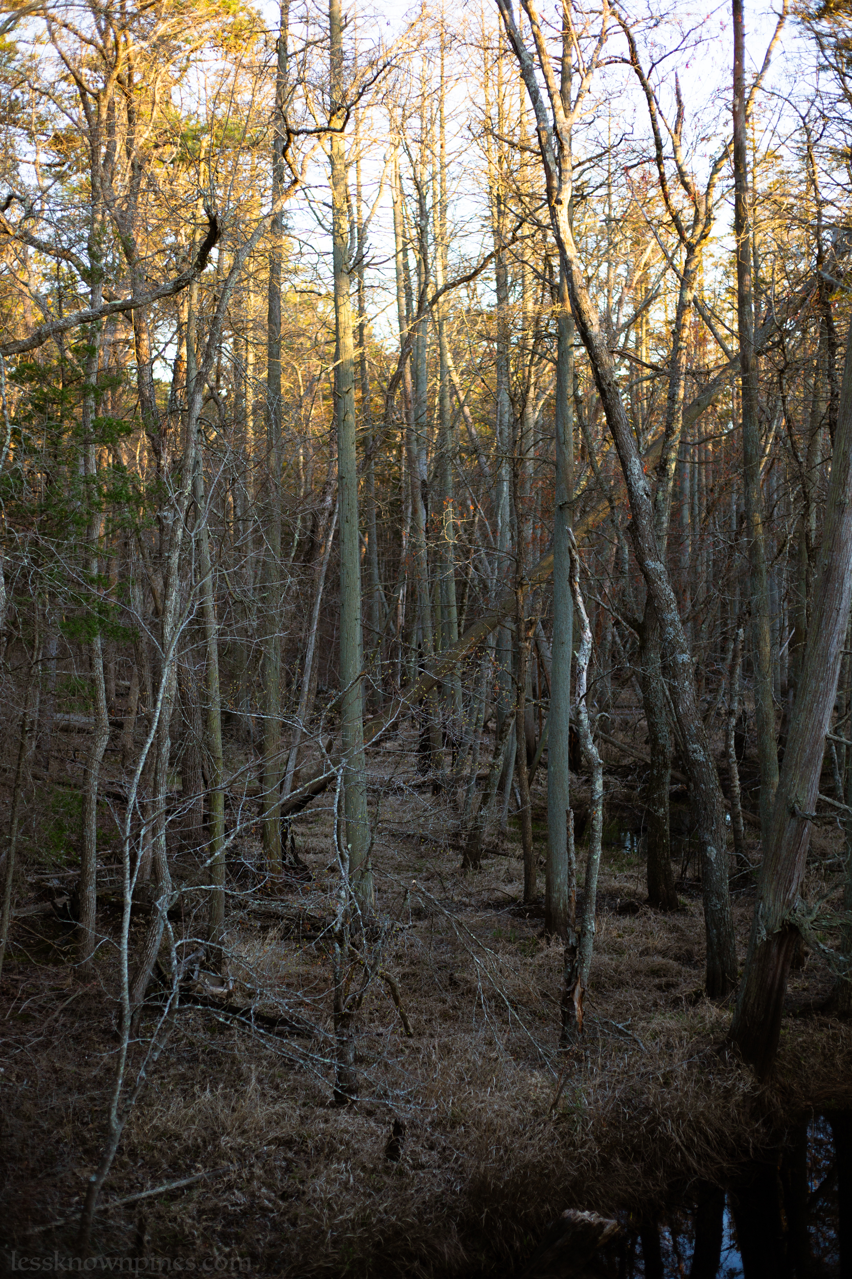
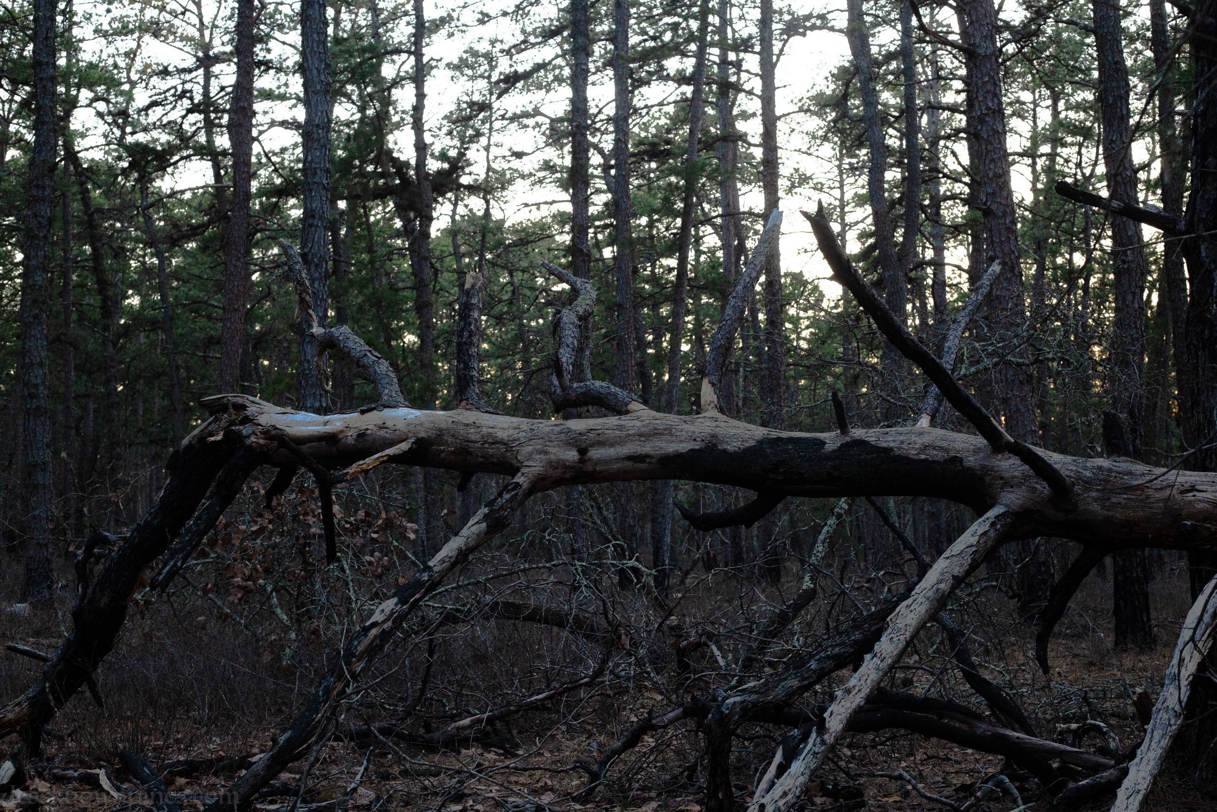
Surrounding Batsto are dense strips and areas of hardwood and cedar forests. Mullica River and Batsto Rivers run parallel to each other until parting ways, where Mullica River heads northwest, and Batsto River runs northward into what is over half a billion square feet of continuous forestland within the west side of Washington Turnpike in Wharton State Forest. Fluctuating lands of pine forests, cedar, hardwood forests, and ponds. Unpaved roads and trails in the remote, uninhabited land lead to spots such as Hampton Furnace Bridge. Other places include Deep Run, Mannis Duck Pond, Springers Brook, Skit Branch, and Bridge #F6.6.
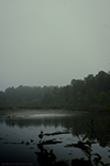
 Early spring at Mullica River
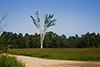
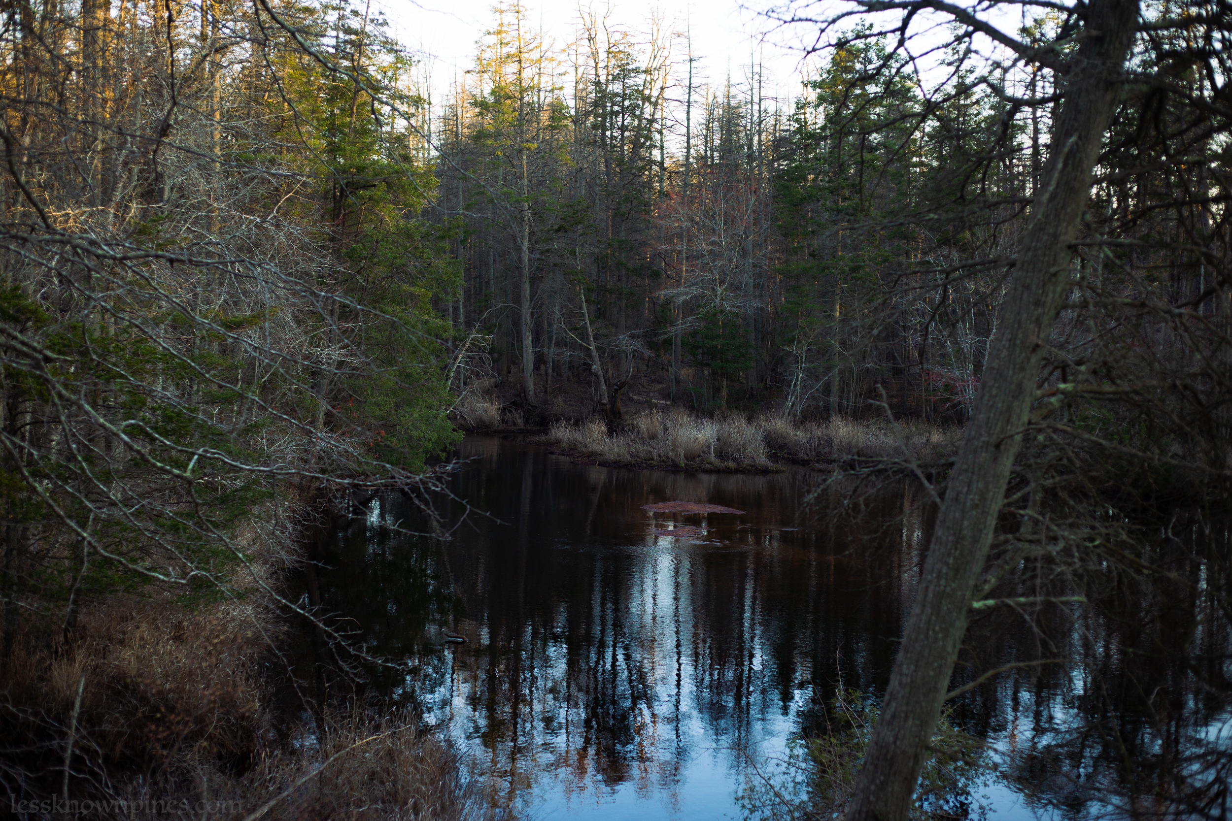
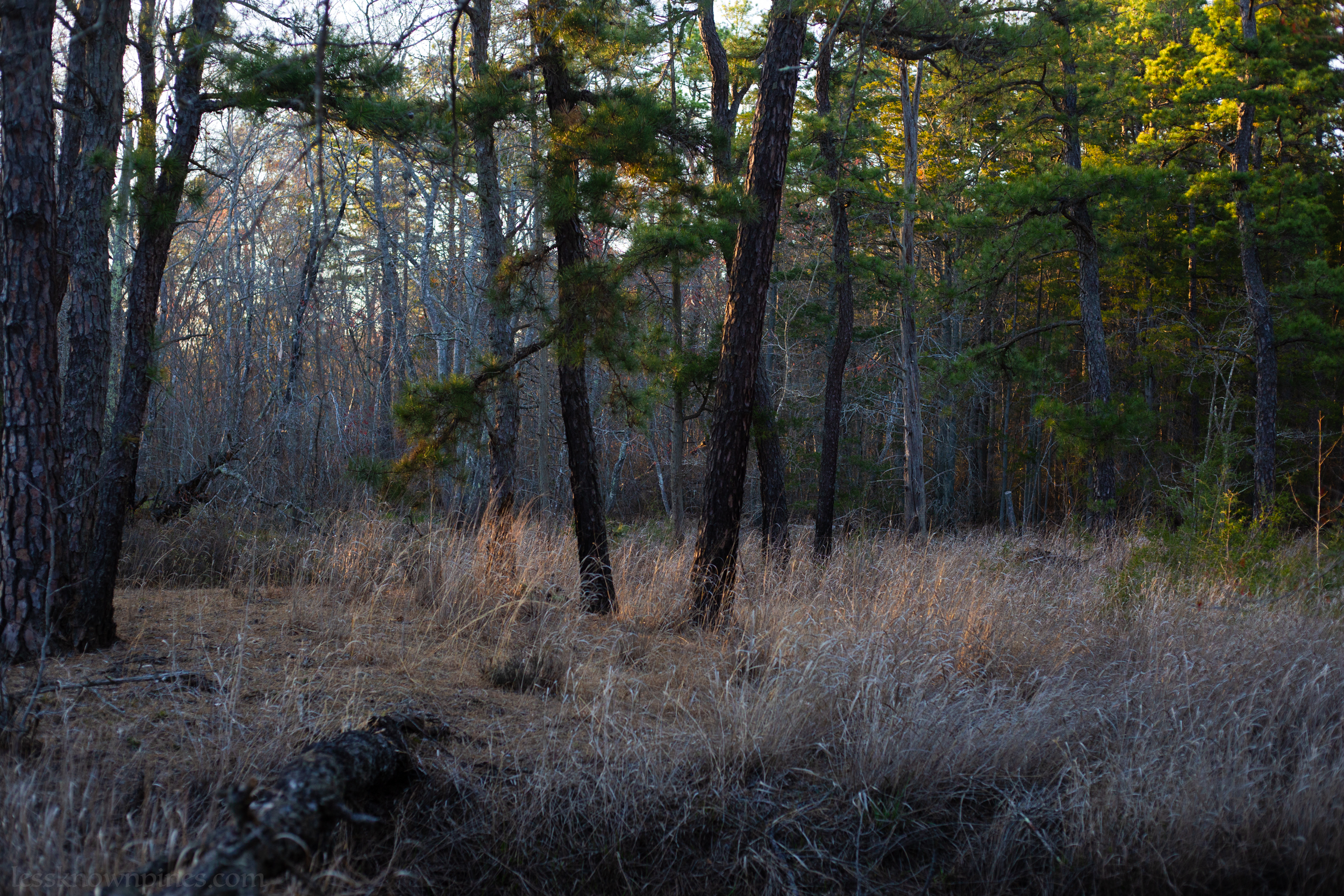
Batsto River Branches From Mullica
This is the middle of the Mullica River, near Batsto Village. The Mullica River and Batsto are essentially meridians, coming together and branching out in this area, meeting again in the great western half of Wharton State Forest, and branching out again in different directions.
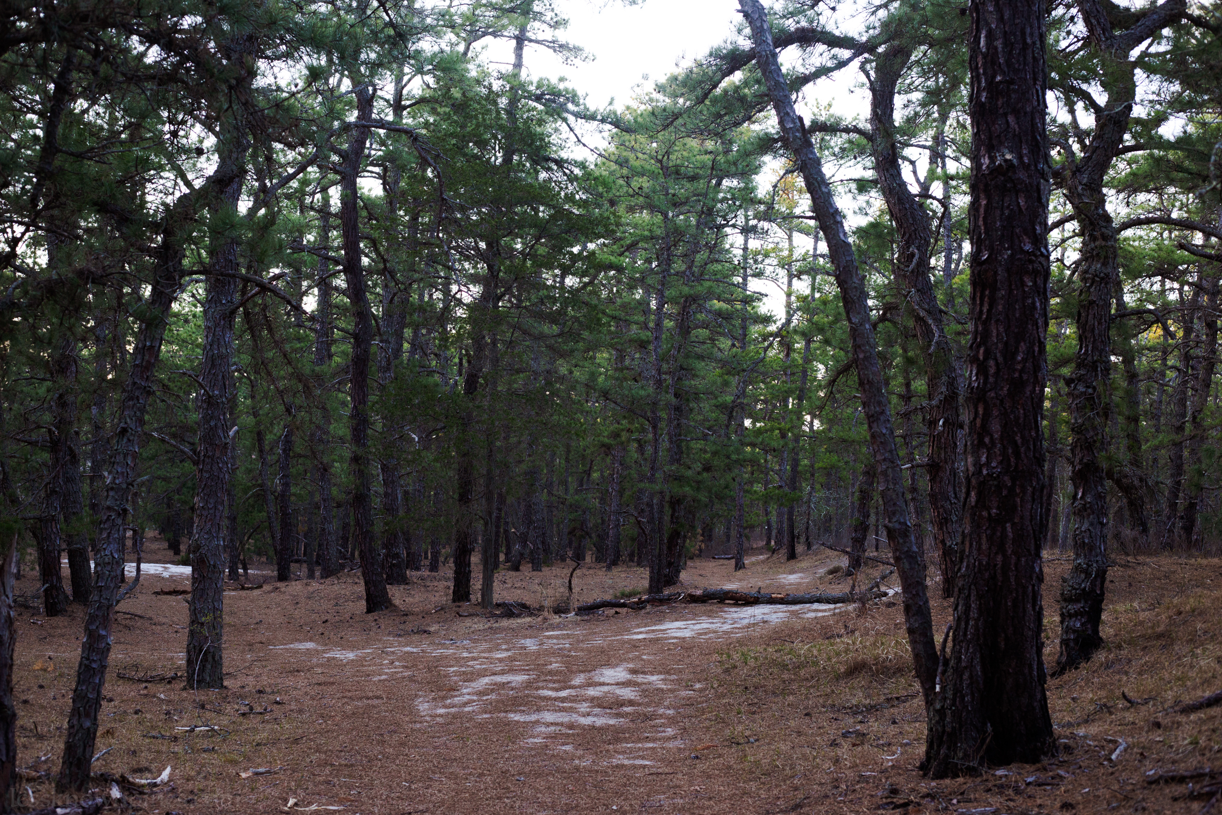

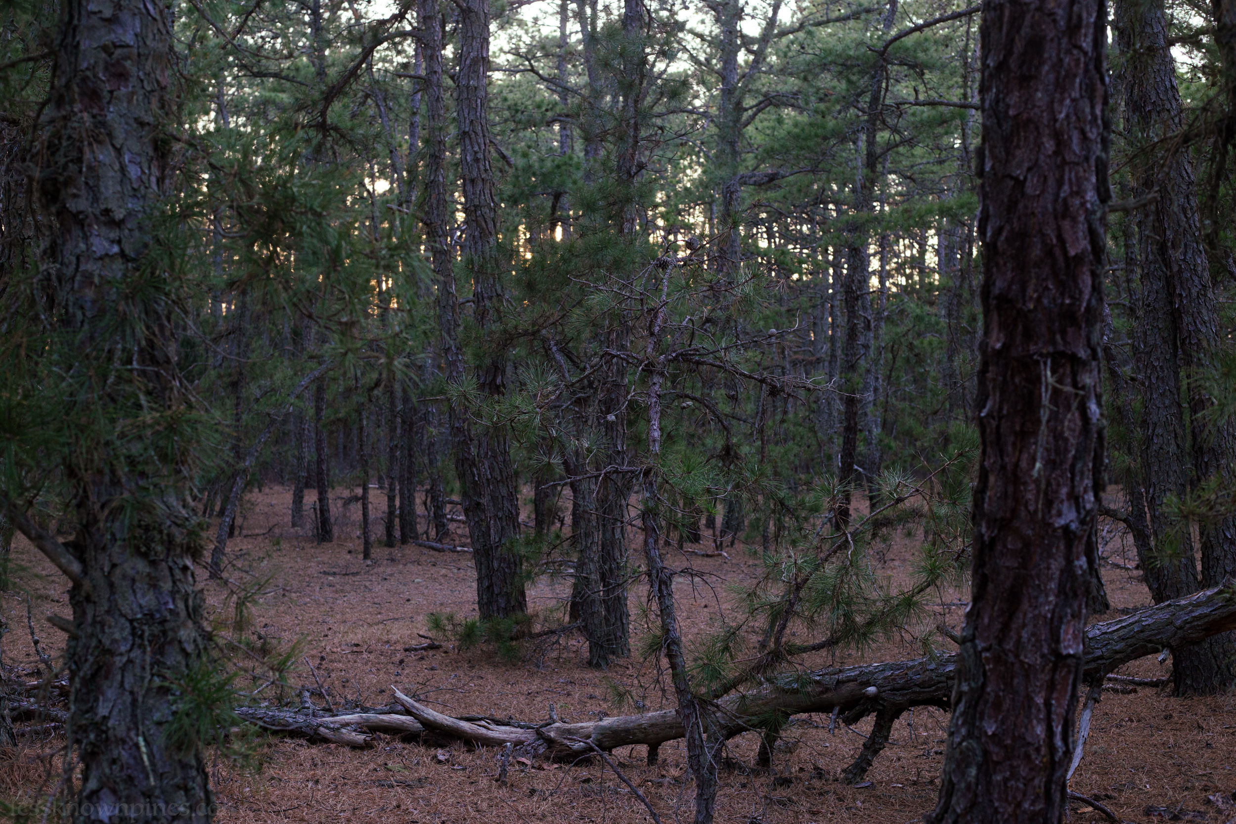
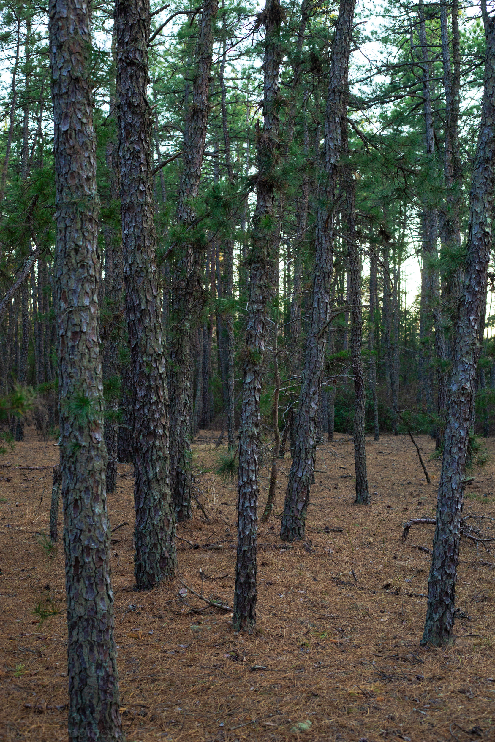
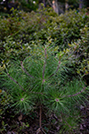
Part of this unusual pine forest has no brush. It has no brush or low bushes. Not even oak. Only pitch pine.